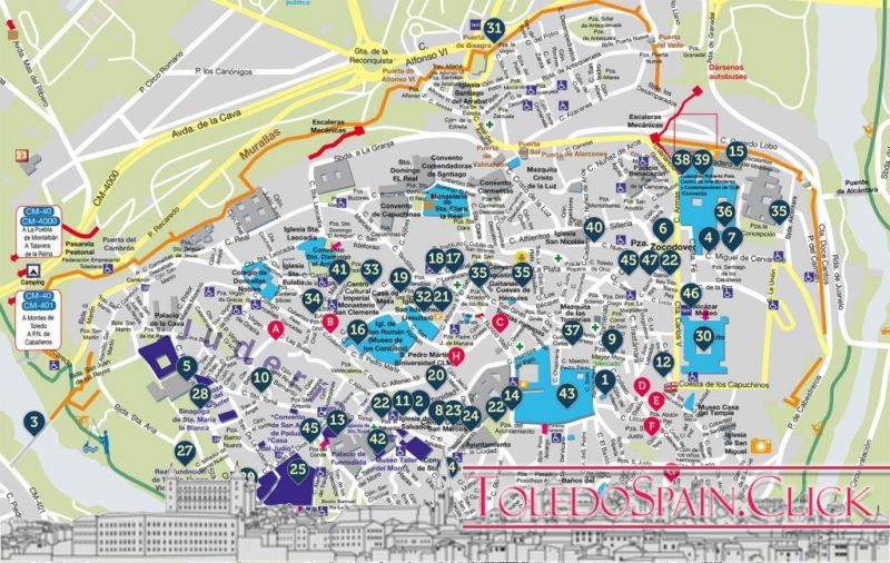
We have placed all the legends here included in the Toledo city map in GoogleMaps. Now you can “fly” over the city from this page and read the legends where they were imagined.
Thanks to the incredible technology provided by Google, and called “Maps”, it is possible to place points on a complete map or aerial photograph of the city of Toledo.
The possibilities of this technology are immense, and applied to this Web site, it allows us to place all our legends about the city, in the streets, buildings or places where they happened.
The use of the following map is very simple: click on the aerial image of the city with the mouse to move, or on the controls of the left zone (+ and – to increase and decrease the zoom, respectively). Click on the “blue” balloons to read a brief introduction to each legend, and click on the orange link with the title of the legend to access its full reading.
A convenient and simple way to have all the legends within reach of a “click” (spanish / english)
We will keep this map updated with the legends we incorporate. If you want to open this map in GoogleMaps, click on this link.
** Google Earth users : You can also download the “KML” file that will allow you to open the situation of these Legends directly in this magnificent program.
Click here to download the KML file directly (to use it you must have installed the program “Google Earth”.
Click on the previous link with the right mouse button and select the option “Save destination as…”, to download the file to your PC and then open it with Google Earth.
For EDGE users: you will have to rename the file that is downloaded with the KML extension, to open it directly in the program. Don’t leave it as XML.)
I’m sure you’re also interested: Why is the White Virgin laughing? A legend of Toledo Cathedral
Read the legends of Toledo at this link.


